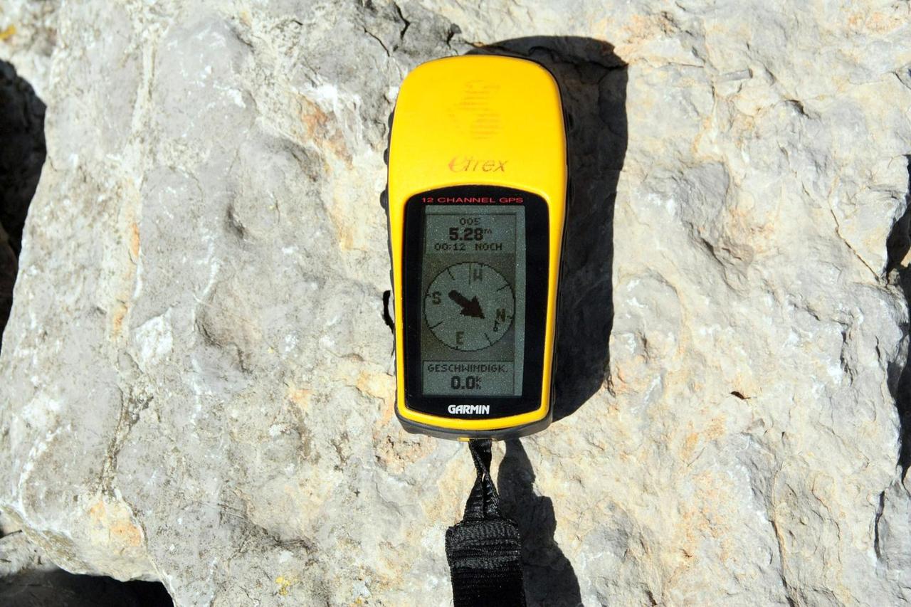
Map, compass and GPS course
Navigation course
Find your way on your own, with a map and compass
This course is for beginner or intermediate outdoor enthusiasts who want to navigate independently and safely while hiking or on other outings in nature.
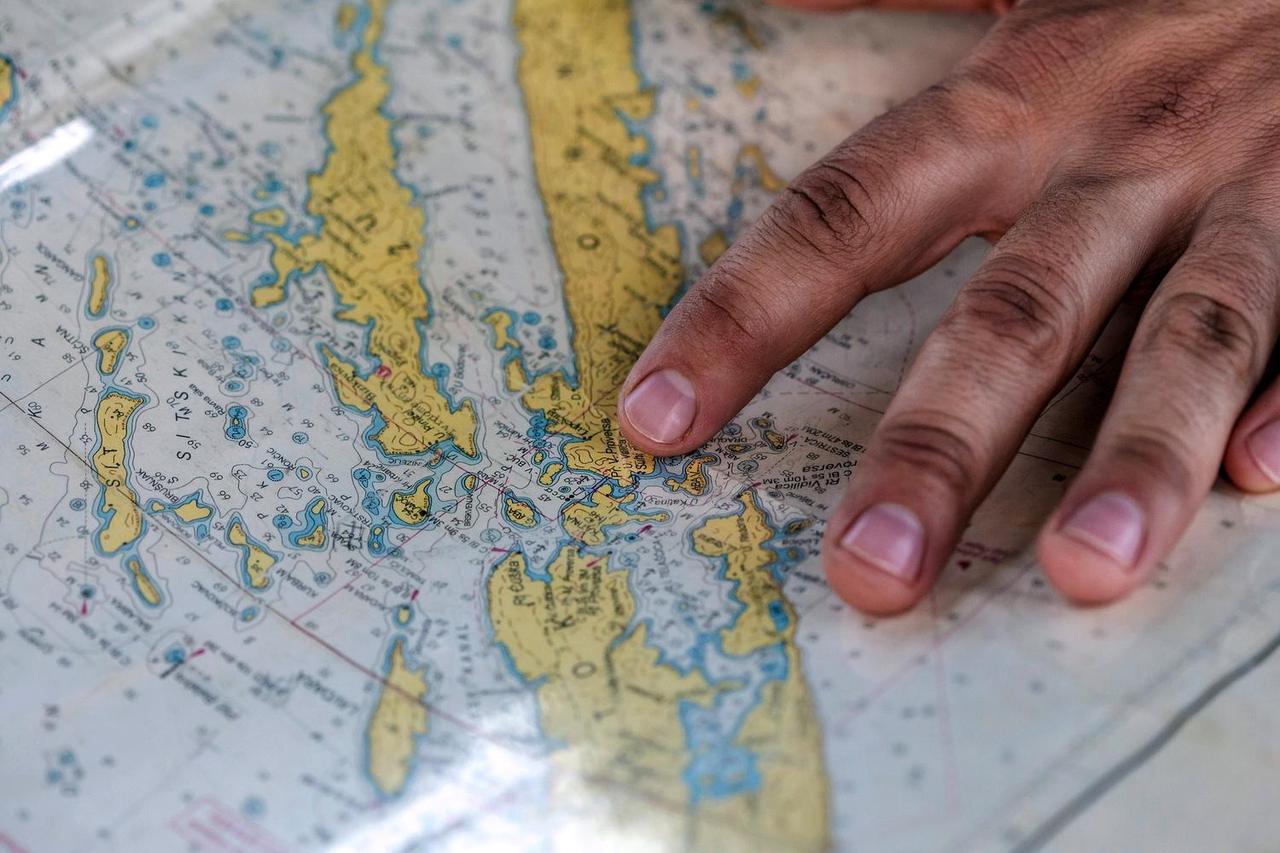
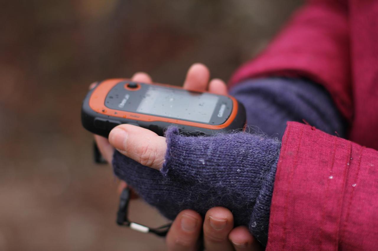
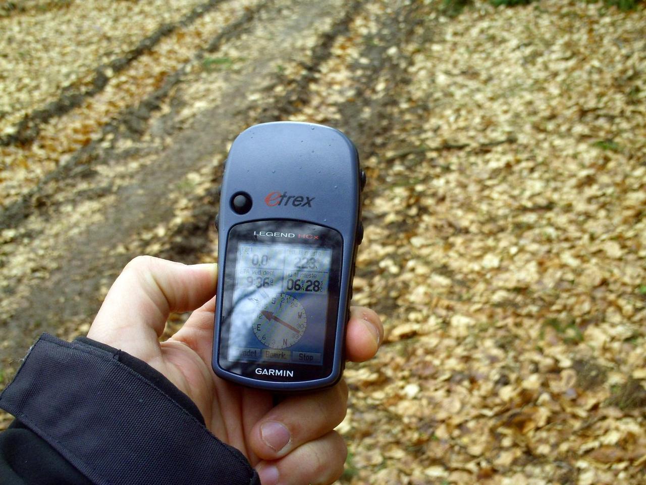
In one day, you learn to read a topographic map, determine your position in the field and navigate with a compass, a GPS or a mobile app.
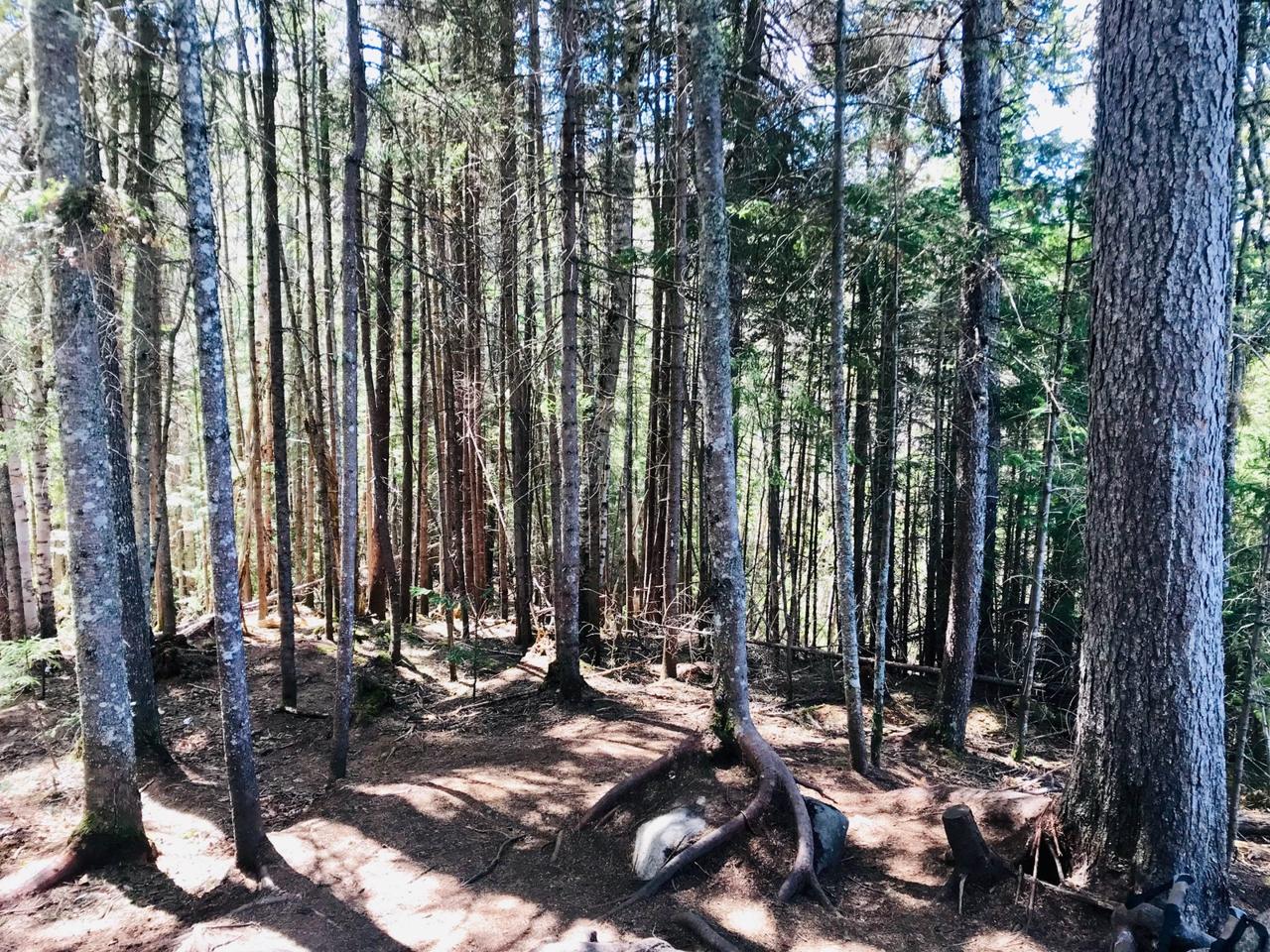
The course alternates theory and practical exercises on the Plains of Abraham: marked relief, varied landmarks, intersecting paths, open spaces for bearings and wooded areas to practise in real conditions.
Highlights
What awaits you
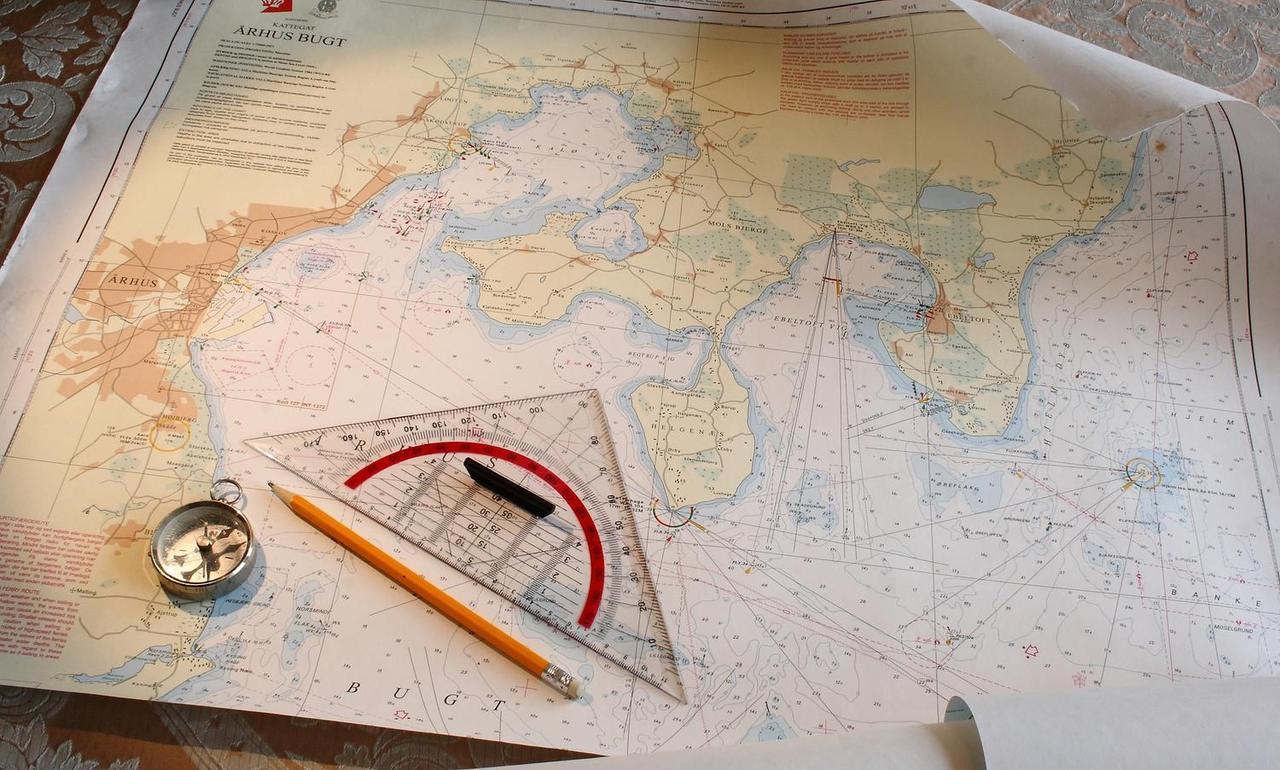
Reading a map
Coordinates, relief and terrain features: interpreting a topographic map.
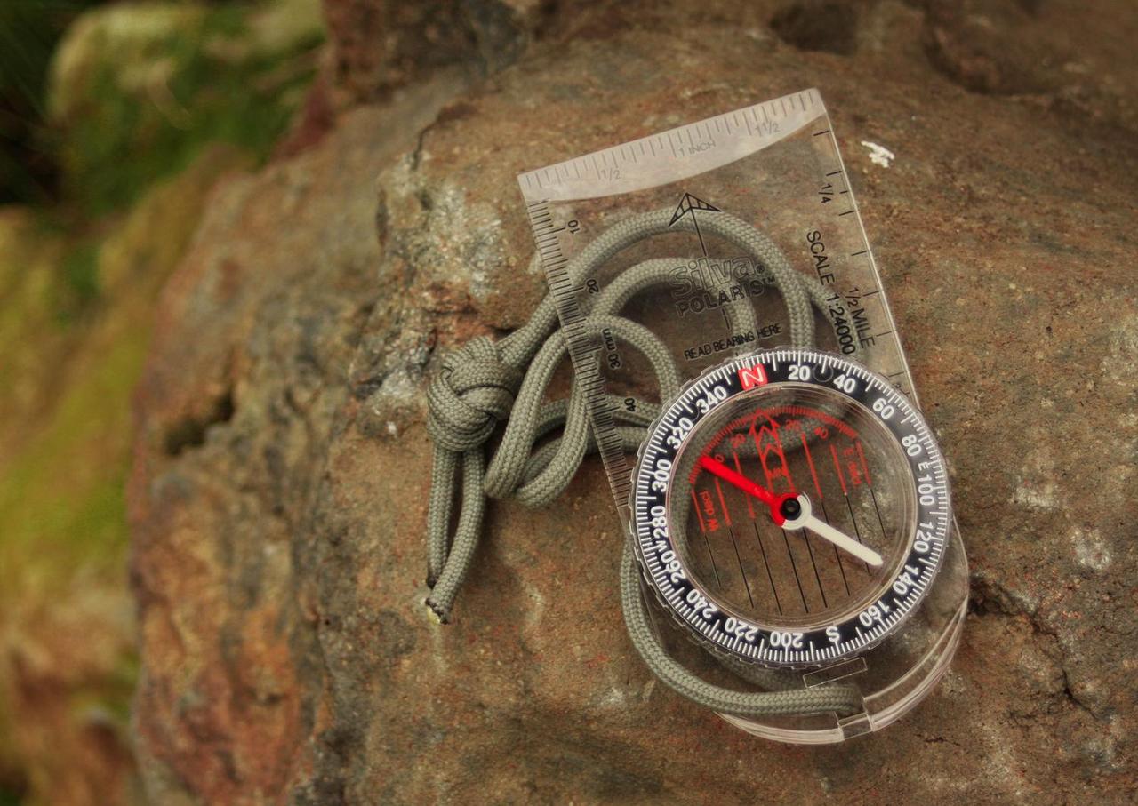
Compass and bearings
Using the compass with the map, directly in the field.
Planning a route
Estimating distances and travel times, then choosing the best route.
Itinerary
Course content
Planning
Preparing a route using the map.
Reading the map
Reading the map and coordinates.
GPS and apps
Basic features of mobile GPS apps.
Finding your way
Navigating with the map and the terrain.
Map and compass
Combined use of compass and map in the field.
The course runs rain or shine. In extreme conditions, it may be postponed.
Everything is provided
What’s included
What to bring
- Clothing suited to the weather and walking shoes
- Lunch, snack and water
- Your phone, for the GPS app part
- A notebook and pencil
Rates
Price per person
Dates and location
2027 dates coming soon, or on request for groups.The group then heads to the nearby Plains of Abraham for the field exercises.
Gallery
In pictures
FAQ
Frequently asked questions
Do I need experience?
No. The course suits beginners as well as intermediates who want to consolidate their basics.
Do I need to bring a GPS?
No, the equipment is provided. Bring your phone if you want to practise with a mobile GPS app.
Can children take part?
Yes, from age 7, accompanied by an adult.
Do you offer the course to groups?
Yes, other dates are possible on request for groups. Write to us.